Why I Want Geo Positions in My Photos
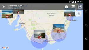
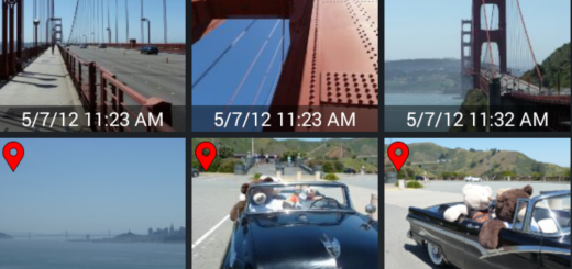
Screenshot of the app PhotoMap that is able to visualize geo photos on a world map
I like discovering new places by car or bike, on foot, or by public transportation. It’s great to meet friends somewhere – at a café, a restaurant, a pub, or simply at their own places. Oh, and travelling is just great, being on vacation or on a business trip. There is a lot to see in my home country and in all the other countries of the world. I took thousands of pictures within the last few years at different places, in different countries, with different people. I couldn’t tell anymore where all these pictures were taken without geo positions. There is a geo position stored in almost every picture I took. That makes reliving moments and revisiting places so much easier for me. Even in 30 years I will still know where I’ve taken all my pictures.
Zwei Fragen zu PhotoMap:
Was ist der Zusatznutzen der Pro-Version ?
Ich möchte WdMyCloud mit einbinden, nur wie?
Die “All Inclusive”-Version von PhotoMap ist werbefrei und die Pro-Features sind freigegeben, d.h.:
1. Alle Collagen-Vorlagen sind ohne Wasserzeichen verfügbar.
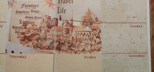
2. Das Tagebuch kann als Text-Datei exportiert werden.
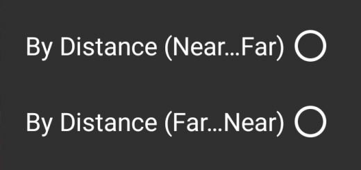
3. Die “Umkreis”-Gruppierung im Hauptmenü ist voll verfügbar.
4. Die Ordner-“Struktur”-Gruppierung im Hauptmenü ist voll verfügbar.
Es können in Zukunft weitere Pro-Features hinzukommen.
Ein Zugriff auf WdMyCloud sollte über das SMB/CIFS-Protokoll im Heimnetzwerk möglich sein. Bei PhotoMap können unter “Einstellungen->Netzlaufwerke” der entsprechende Servername, Nutzername und Passwort eingetragen werden. Bitte schauen Sie in das Handbuch zu WdMyCloud wie ein Zugriff über SMB/CIFS bzw. Samba konfiguriert werden kann. Auch eine Google-Suche kann dazu einige Anhaltspunkte liefern.