Let PhotoMap Analyze your Trip, Edit Geo Positions, and Export GPX/KML Files
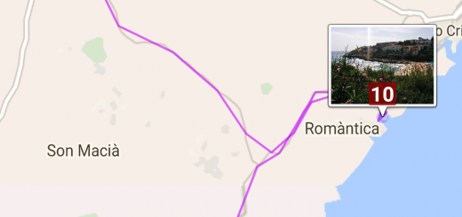
PhotoMap now detects trip sections automatically. View the detected sections in the map view as shown on the screenshot below. A symbol indicates the estimated kind of movement: walking, running, cycling, driving, or staying. Just tap on a section to highlight it on the map.
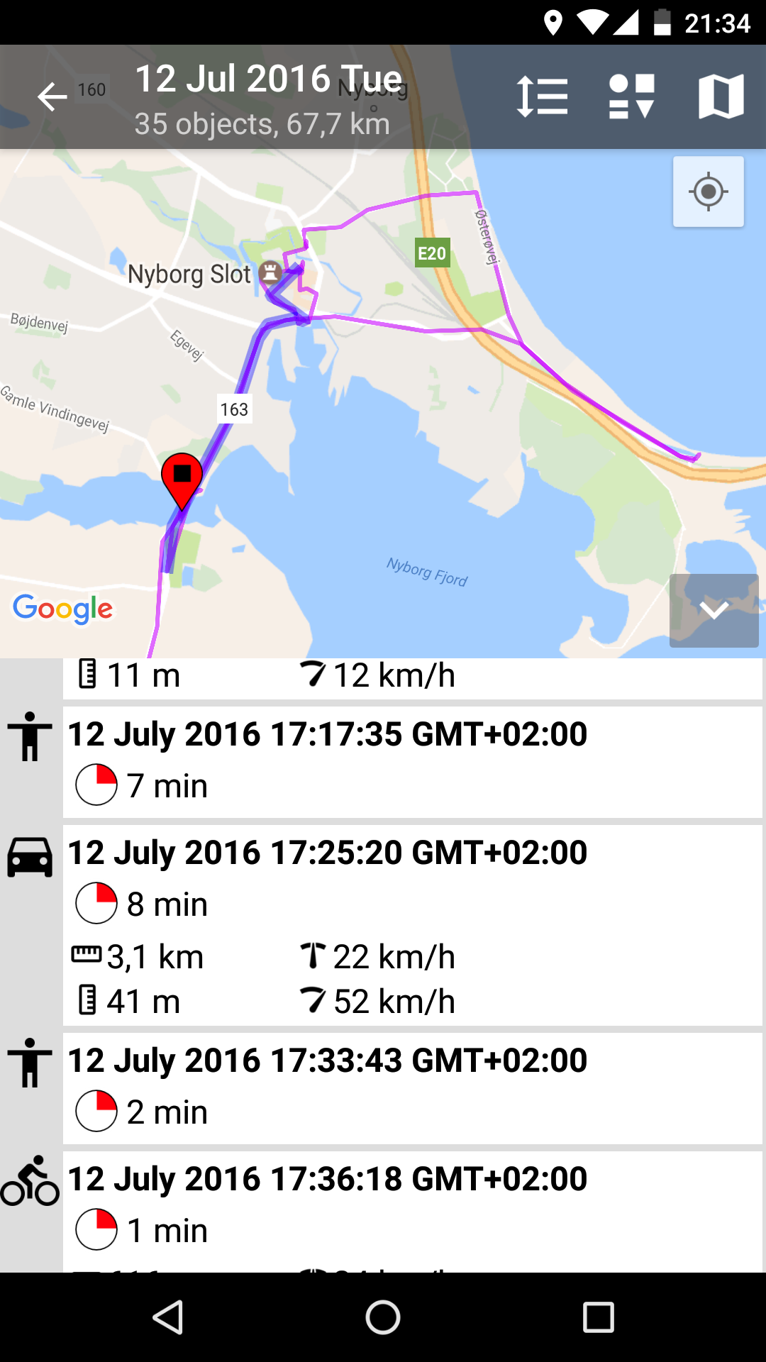
Automatically detected trip sections. One section is highlighted.
HINT: Please make sure that geologging is activated to use this features. You can activate the geologging by tapping on the interval timer at the top of the left main menu and checking the box ‘Log Geo Positions’. Activate the location updates checkbox and select an interval, e.g. 10 minutes, to get better results. The lower the interval (e.g. 1 minute) the higher the energy consumption.
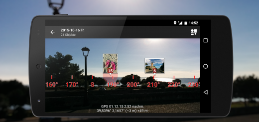
You can view detailled geo position info of your trips in the map view as well. An example is shown in the screenshot below. Tap on a geo position to see it on the map. Start selecting geo positions by long-pressing on one of them. Delete selected geo positions or export them as GPX or KML file.
Just tap on the more/less icon to view a fullscreen map without sections/positions. Switch between the section and position list by tapping on the ‘expand’ icon in the top actionbar.
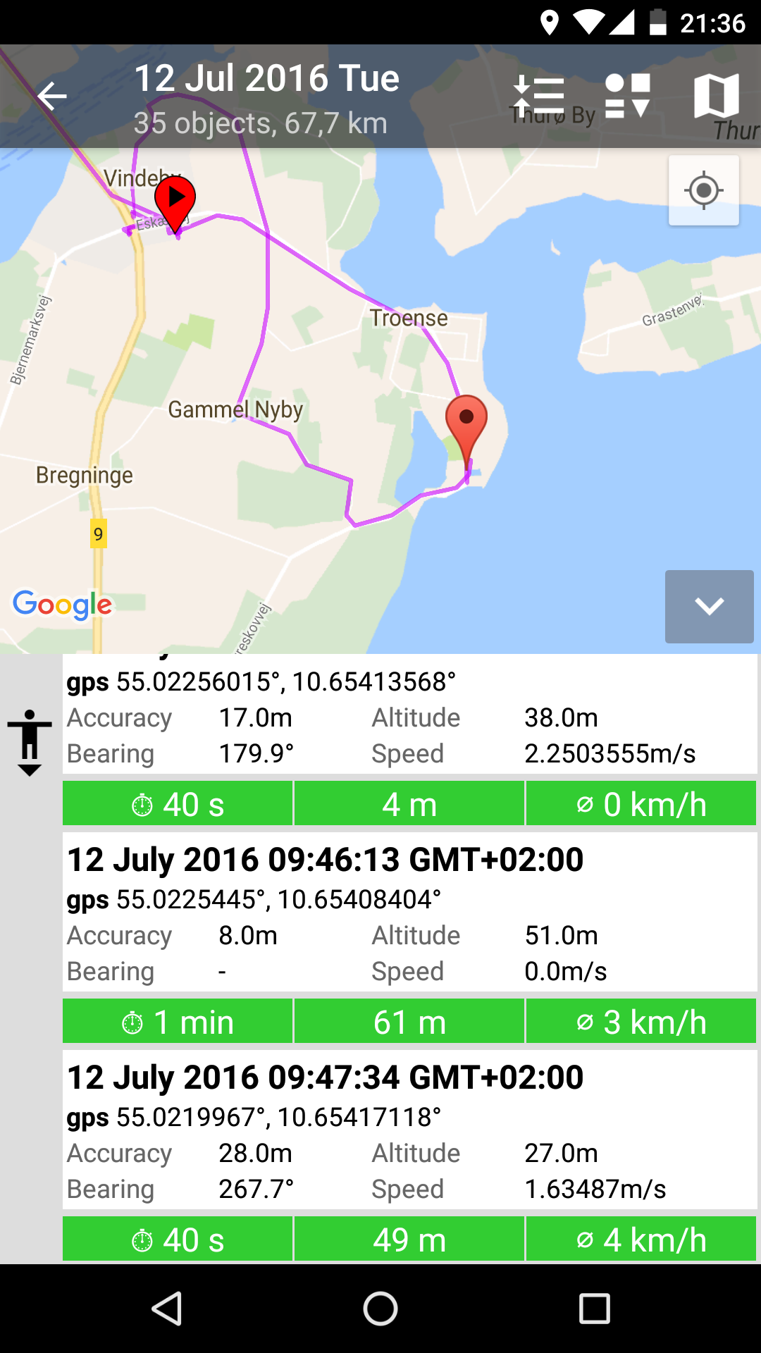
Tap on a geo position to see it on the map.
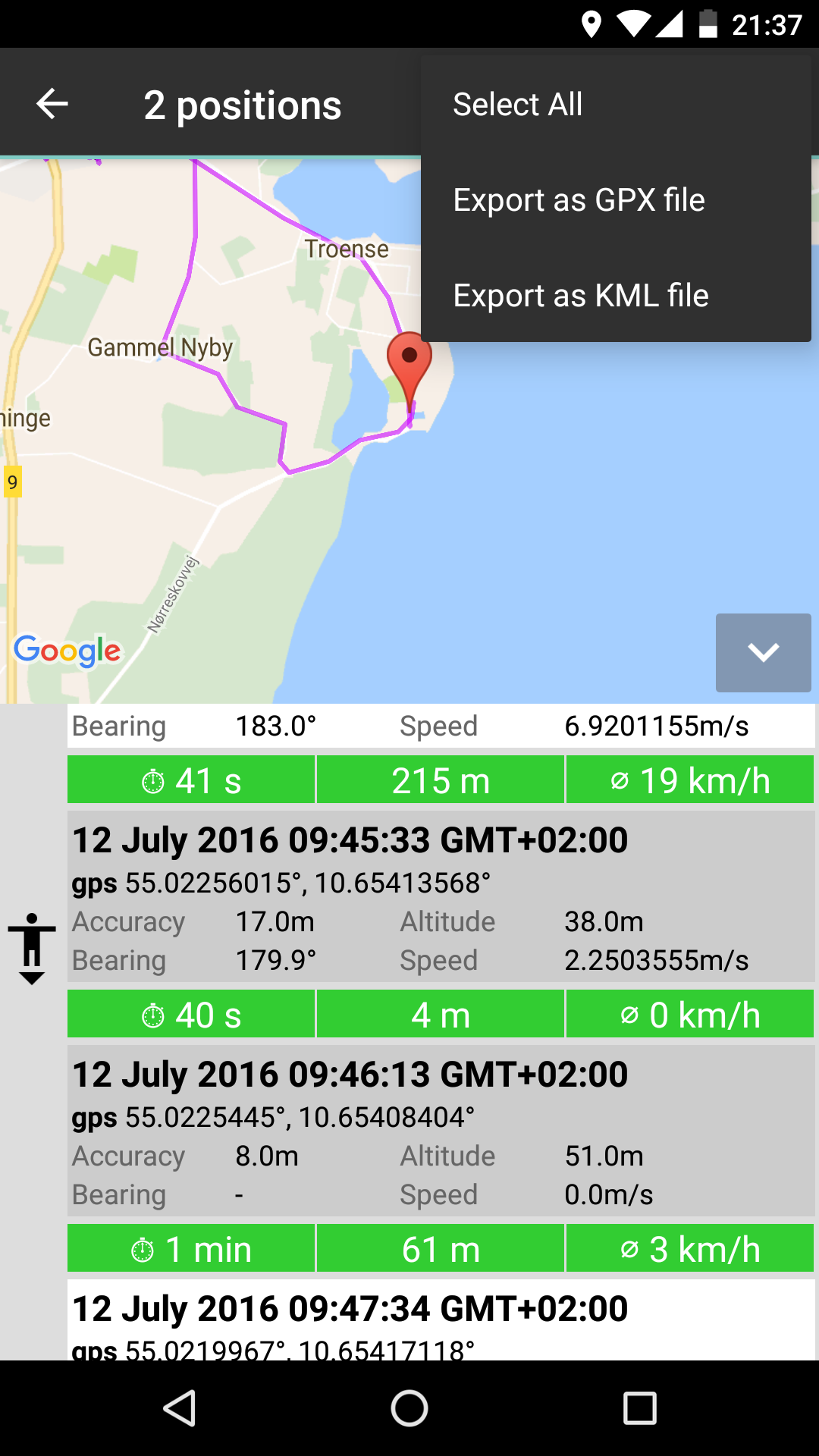
Select geo positions to delete them or to export them as GPX/KML file.
Excelente App,muy completa aún me falta entender muchas cosas y saber que más tiene.