The new version of PhotoMap comes with a new diary function! Just select the ‘Diary’ option in the upper bar and tap on the white area of any day to start writing. View photos and logged...
The file formats GPX (GPS Exchange Format) and KML (Keyhole Markup Language) can be used to describe tracks and routes. Both formats can be exported by PhotoMap‘s geo logger. The exported files contain all...
The sun is important for photographs if natural light is needed. Sunshine Compass is a free app that calculates the sun positions of today and visualizes them in an amazing Augmented Reality view. It helps you finding...
Whatever geo logger you are using, there are typically lots of possibilities to set it up. The main question is how often do you want to log a position? Every hour, every minute, or...
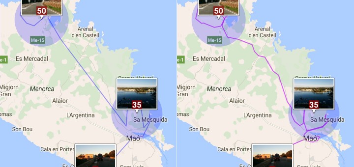
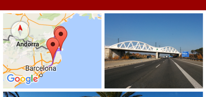
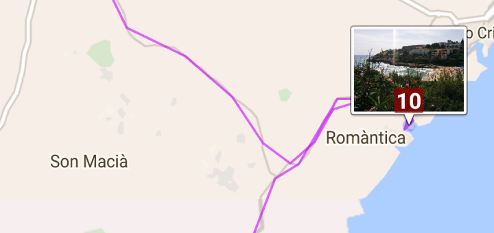
I would like to show you two ways of tracking and visualizing your trips with PhotoMap. (1) The first option is to take pictures with geo positions and let PhotoMap connect them. You can...
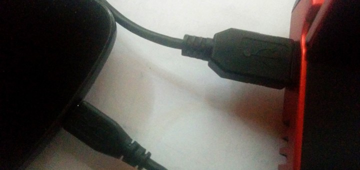
I’ve tried to transfer files from Android to my PC via USB so many times and it still doesn’t work as expected. New files are often missing and old files are sometimes still visible....
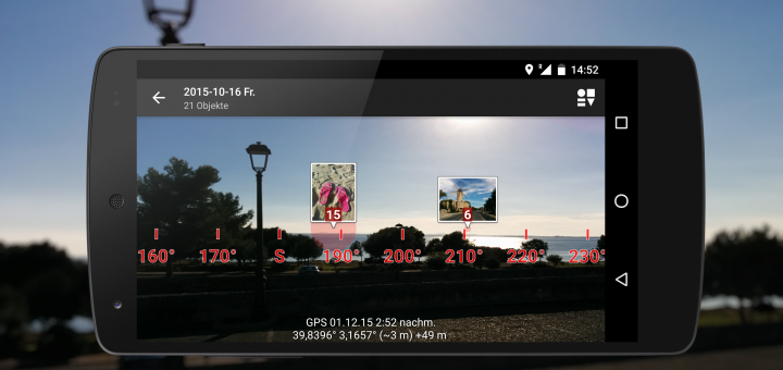
PhotoMap now comes with an impressive Augmented Reality (AR) view of your photos. It enables you to look through your phone to see where your photos were taken. The view includes a True North compass that...
There are lots of Android apps in the market that let you create photo collages. But if you want to add a map to your collage then there are only a few apps left:...
A picture is worth a thousand words. Of course, but… sometimes I want to add my own words like „I met Sarah and Tom…“, or „I bought a coffee for 2$.“, or „In the...
To add a geo position to a photo that you’ve already taken is a bit more complicated. You can do it by hand, e.g. by using the geotagging feature of the app PhotoMap or by...




Recent Comments