Organizing Photos on Android Blog
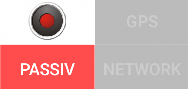
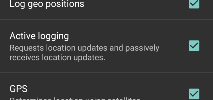
Whatever geo logger you are using, there are typically lots of possibilities to set it up. The main question is how often do you want to log a position? Every hour, every minute, or...
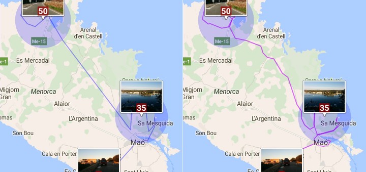
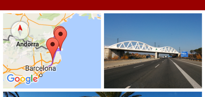
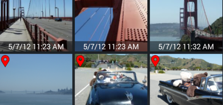
I would like to show you two ways of tracking and visualizing your trips with PhotoMap. (1) The first option is to take pictures with geo positions and let PhotoMap connect them. You can...
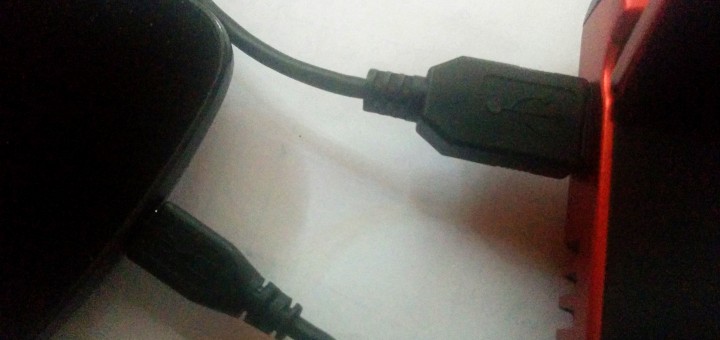
I’ve tried to transfer files from Android to my PC via USB so many times and it still doesn’t work as expected. New files are often missing and old files are sometimes still visible....
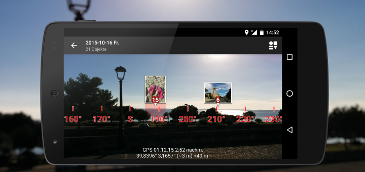
PhotoMap now comes with an impressive Augmented Reality (AR) view of your photos. It enables you to look through your phone to see where your photos were taken. The view includes a True North compass that...
There are lots of Android apps in the market that let you create photo collages. But if you want to add a map to your collage then there are only a few apps left:...
You can organize all your photos by putting them into different directories. One could be named „Italy 2012“, another one „Paris 2013“, then „Birthday Party Kim 36“ and so on. Is that a good...
Geo logging is not just a great way to add geo positions to photos later on. It’s also useful to track your travel routes, bike rides, running tracks, and so on. I like using...
It’s easy to sort files by filename. Most file managers and photo galleries support this type of sorting. But what type of sorting do you really want when searching or viewing photos? I like...
There are photo viewers for Android that sort photos by last modified time. Is that really what you want? I’m usually interested in the date and time when a photo was taken. The last...
A picture is worth a thousand words. Of course, but… sometimes I want to add my own words like „I met Sarah and Tom…“, or „I bought a coffee for 2$.“, or „In the...
Recent Comments